
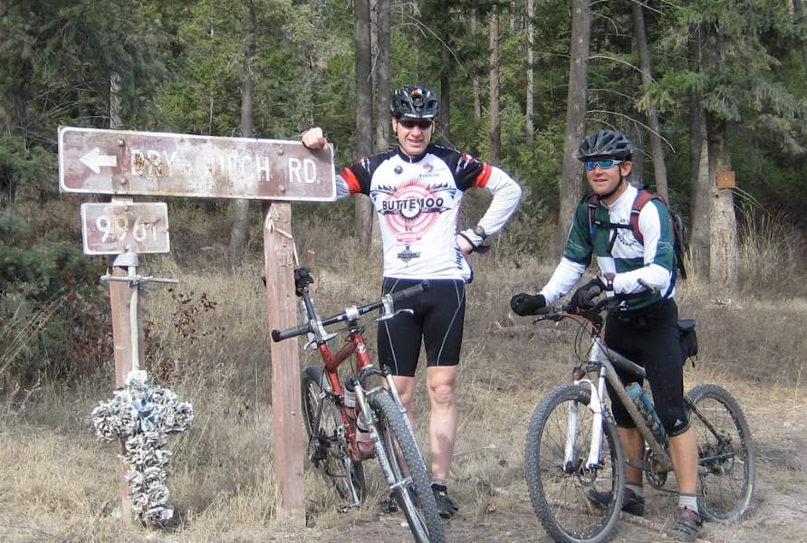
Bill Martin, Julie Huck, Bob Skogley, Garland Thayer, Ed and Laurie Stalling, Alden Wright participated in this event.
Distance: 151.97 miles
Elevation Gain: 20,722 feet
Start Time: Officially at 10am (Garland started at 10:30am)
Finish Time: Officially at 10am (Last rider, Bill Martin, finished at 8:49am)
Maps: Available at [tinyurl.com/rmvq-map]
Leg 1: Blue Mountain Rec Area Parking Lot to Blue Mountain Fire Tower (CP1): I departed from the Blue Mountain Recreation Area Trailhead promptly at 10 a.m., eager and strong, planning to evaluate my stamina as night fell.
Leg 2: Grave Creek Range Growler: The day was beautiful, and the relaxed pace filled me with joy. The Carbo Rocket started to take effect. Garland caught up at Checkpoint 2.
Leg 3: Dry Gulch Downhill: Garland and I swiftly descended and joined Julie and Bob en route to the first aid station.
Leg 4: Roller Coaster: At the first aid station, Julie was stung by a bee, a significant issue as she is allergic.
Leg 5: Snow Bowl A-Frame Hut: Garland began to slow, so I continued at my own pace, finding joy in every mile.
Leg 6: Bear Grass Highway, Ravine, Rattlesnake: Racing against the sunset to Rattlesnake, I encountered numerous downed trees on the Bear Grass Highway, making progress challenging.
Leg 7: Woods, Sidewinder Family: A large barbecue awaited at the Rattlesnake parking lot, marking a fantastic close to the day. Garland finished strong.
Leg 8: Mit Tower: Alden joined me, and his presence shifted my mood from dread to enjoyment. Although we moved slowly, it was exactly what I needed.
Leg 9: Woody, Swinging Bridge: Alden accompanied me and ended this leg feeling cold but strong. He concluded his night as I pressed on.
Leg 10: Clinton Express: This leg felt like a time warp; it seemed brief but took over two hours. I wondered if Ed would reach the next aid station in Clinton in time.
Leg 11: Holloman Saddle: This long ascent felt endless. Off in the distance, I spotted a vehicle – it was Ed, who had taken a wrong turn but found me just in time at Holloman Saddle. Together, we enjoyed the moment.
Leg 12: Miller Peak Ridge to Pattee Canyon: A relaxed pace (or perhaps the chocolate curry soup?) made this leg feel rejuvenating, despite cool weather and intermittent snow and rain.
Leg 13: University Beacon: Julie and Laurie arrived late to the checkpoint, as I had gotten there about 45 minutes earlier than anticipated. My speed peaked in the early hours.
Leg 14: Hidden Treasure Finale: The event concluded with a beautiful sunrise service, shared with my dear friends Julie and Laurie. We celebrated with breakfast at the Uptown Diner, a cherished tradition.
Here is the data from the image converted into a table format:
| Checkpoint | Check Point Miles | Leg Miles | Total Bill Martin | Garland Thayer | Alden Wright | Julie Huck | Laurie Stalling |
|---|---|---|---|---|---|---|---|
| CP 1 Blue Mountain Fire Tower | 11.31 | 11.31 | 1:37(1:37) | – | – | – | – |
| CP 2 Grave Creek Range | 8.92 | 20.23 | 1:25(3:02) | ?(2:25) | – | – | – |
| CP 3 Dry Gulch | 12.51 | 32.74 | 1:03(4:05) | 1:05(3:30) | – | 8Miles(1hr) | – |
| CP 4 Point Six Road Gate | 14.87 | 47.61 | 1:18(5:23) | 1:18(4:48) | – | – | – |
| CP 5 Snow Bowl Hut | 7.94 | 55.55 | 1:30(6:53) | 1:35(6:23) | – | – | – |
| CP 6 Rattlesnake Parking Lot | 17.89 | 73.44 | 1:39(8:32) | 1:50(8:13) | – | – | – |
| CP 7 Top of Two Larch | 2.83 | 76.27 | :41(8:55) | – | – | – | – |
| CP 8 Lincoln Hills Trailhead | 4.8 | 81.07 | :58(9:43) | – | – | – | – |
| CP 9 Top of Mt Tower | 6.52 | 87.59 | 1:33(11:16) | – | 1:35(1:35) | – | – |
| CP 10 Swinging Bridge | 10.78 | 98.37 | :57(12:13) | – | :57(2:32) | – | – |
| CP 11 Schwartz Creek Bridge | 15.23 | 113.6 | 2:09(14:22) | – | [2.5m]:12(2:42) | – | – |
| CP 12 Hollomans Saddle | 10.56 | 124.16 | 1:45(16:07) | – | – | – | – |
| CP 13 Pattee Canyon | 17.65 | 141.81 | 2:59(19:06) | – | – | – | – |
| CP 14 University Beacon | 4.6 | 146.41 | 1:33(20:39) | – | 1:34(2:34) | 1:34(1:34) | – |
| Finish in Town | 5.56 | 151.97 | :40(21:19) | – | :40(3:14) | :40(2:14) | – |
| Total | – | 151.97 | 21:19 | 8:13 | 2:42 | 3:14 | 2:14 |
| Dist | – | – | 151.97 | 73.4 | 19.81 | 18.16 | 10.16 |
