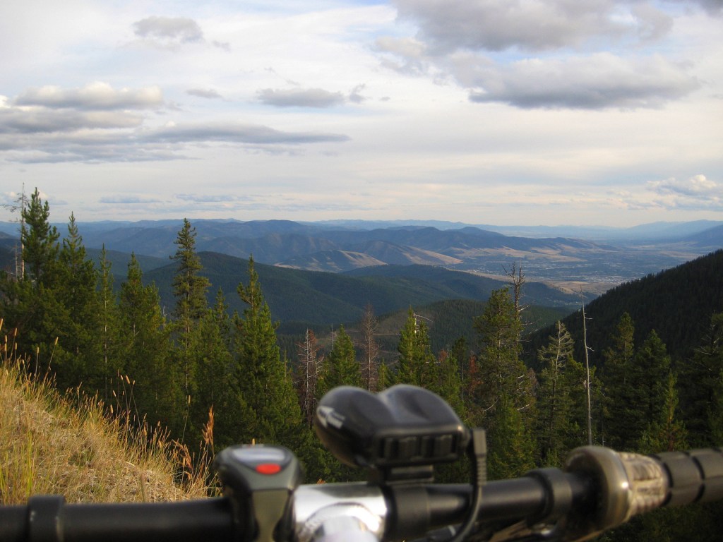
On Monday, a strategic pause from rigorous training was taken, complemented by several core exercises to maintain physical readiness. This day off provided an invaluable opportunity to delve into analytical considerations regarding the newly explored Alpe De Turah segment. With the GPS data now at hand, its potential integration into the RMVQ course merits thorough evaluation.
The proposed route modification presents compelling advantages, notably the elimination of the road section leading to Clinton, which enhances the overall challenge and experience of the RMVQ. The adjustment would increase the course length to 158 miles (up from 152 miles) and elevate total climbing to 46,000 feet (from 35,000 feet), attributable to the inclusion of Sheep Mountain in this year’s iteration. These augmented figures underscore a significant elevation in both distance and elevation gain, aligning with the event’s ethos of presenting an unparalleled endurance challenge.
Conversely, the exclusion of the segment from Clinton to Hollowmans Saddle subtracts a historically rich and physically demanding portion of the course. Contemplating this exclusion, a prospective route could potentially extend to an unprecedented 171 miles and 48,000 feet of climbing. This scenario raises pivotal considerations regarding the balance between preserving the event’s heritage and pursuing the evolution of its competitive landscape.
The strategic incorporation or omission of these segments warrants a multidimensional analysis, factoring in the event’s identity, participant expectations, and the overarching goal of maintaining the RMVQ as a premier endurance mountain biking challenge. The potential for phased implementation – initially integrating the Turah section, with the prospect of expanding the course in subsequent years – offers a pragmatic approach to course evolution, facilitating incremental adjustments based on participant feedback and logistical feasibility.
It’s imperative to gauge community sentiment and participant readiness for such an endeavor. The historical performance, notably Garland T’s commendable completion of 73.4 miles in 8:13, serves as a benchmark for assessing the relative difficulty of the course and the physical demands placed on competitors.
As we stand 74 days from the RMVQ, the focus intensifies on refining the course to optimize its challenge, appeal, and the overall participant experience. Engaging with maps and planning not only serves as a methodical approach to course development but also embodies the spirit of adventure that lies at the heart of the RMVQ.
Your insights, as a member of this adventurous community, are invaluable. The collective wisdom and aspirations of those willing to embark on this journey will be instrumental in shaping the future trajectory of the RMVQ. Your feedback on these proposed changes is eagerly awaited as we strive to enhance the event’s legacy while navigating the dynamic landscape of endurance mountain biking.

Your Thoughts