
Ride on down to the bottom of this post to see the table I compiled.
Cycling’s popularity is soaring, and with it, the choice of GPS biking apps has exploded. It’s a digital jungle out there! But don’t worry, I’ve got your back. Let’s dive into finding that perfect digital companion for your cycling escapades.
Understanding Your Needs
First off, what’s your cycling vibe? Are we talking heart-pounding mountain trails or breezy city jaunts? Maybe you’re into hardcore data analysis or just want to share your rides with buddies. Pinpointing your style is key to picking the right app.
Exploring the Terrain
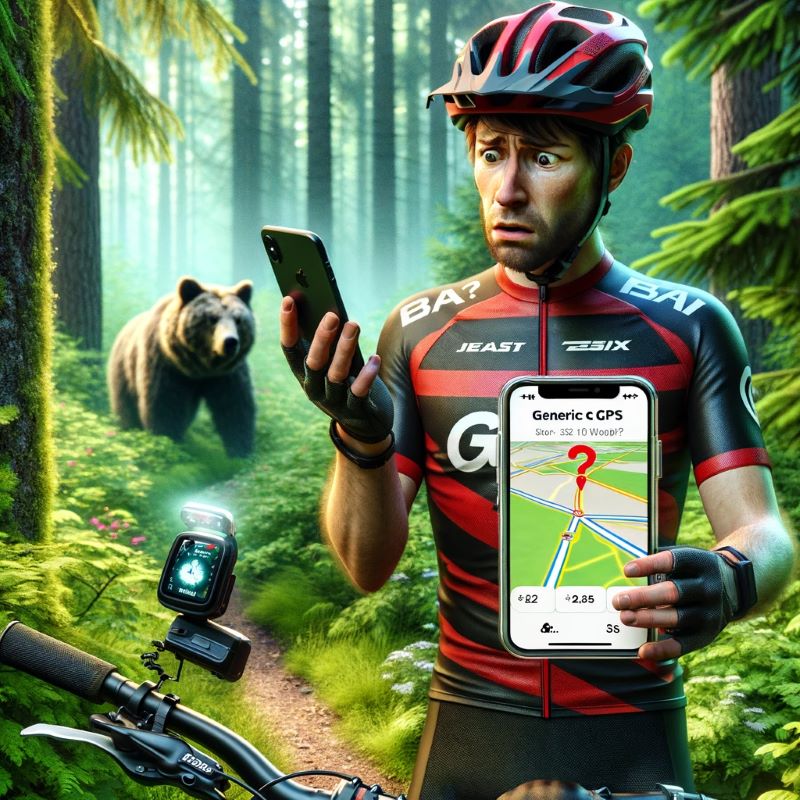
Now, the fun part! Let’s zoom through some top GPS biking apps:
- Gaia GPS: This is your Swiss Army knife of apps. Think extensive maps (topo, satellite, you name it), offline smarts, and nifty weather overlays. Great for the tech-savvy, but it does come with a subscription tag.
- AllTrails: It’s like having a cycling buddy who knows all the trails. User-generated routes, photos, and reviews. The basic version is free, but AllTrails Pro takes it up a notch.
- Komoot: Your personal guide with voice-led turn-by-turn navigation and customized route planning. It’s free for starters, but extra regions cost a bit.
- Outdooractive: A treasure trove of maps and cyclist-specific points of interest. Plan routes offline and explore with ease. There’s a free and a Pro version.
- Strava: The social butterfly of apps. Track rides, challenge friends, and bask in the glory of your achievements. Just know, it’s more about the community than detailed maps.
- RideWithGPS: A roadmap heaven with detailed planning tools and turn-by-turn navigation. It’s all-access but needs a subscription.
- Trailforks: Mountain bikers, rejoice! Trailforks has you covered with detailed trail info and offline maps. Free to start, but some features require Pro+.
- Outside+: Think of this as your all-in-one pass. You get Gaia GPS, Trailforks, and a ton of bike content and perks from Outside Magazine. A great value deal, though it’s not solely a mapping app.
- CalTopo: For the detail-oriented, CalTopo offers sophisticated analysis tools and route planning, but it’s not the most beginner-friendly.
- HillMap: Simple, free, and web-based. It’s the no-frills choice for casual cyclists, offering basic topo maps and elevation profiles.
Choosing Your Path
Armed with this info, you’re all set to select the GPS biking app that suits your style and needs. Think about cost, map quality, features, offline access, and how well it aligns with your cycling goals.
Additional Resources:
Now, don’t just take my word for it. Check out the apps, read up on reviews, and maybe give a few free trials a whirl.
| App | Price | Pros | Cons | Popularity (Subscriptions) | Link |
|---|---|---|---|---|---|
| Gaia GPS | $79.99/year | Extensive map library (topo, satellite, etc.), offline functionality, advanced features, specific map layers for biking trails. | Subscription-based model, limited customer service, interface can be overwhelming. | 100+ Million | https://www.gaiagps.com/ |
| AllTrails | Freemium, $35.99/year Pro | Large user-generated trail database with reviews and photos, curated routes for different skill levels, offline maps. | Limited map detail compared to Gaia GPS, freemium model with limited features in the free version. | 50+ Million | https://www.alltrails.com/login |
| Komoot | Freemium, $49.99/year | Turn-by-turn voice navigation, route planning with elevation profiles, terrain highlights, specific features for biking and mountain biking. | Freemium model with limited features in the free version, additional regions require in-app purchases. | 20+ Million | https://www.komoot.com/ |
| Outdooractive | Freemium, $59.99/year Pro | Comprehensive map library with topo layers, offline maps, route planning with elevation profiles, specific points of interest for biking. | Freemium model with limited features in the free version, subscription required for full access to all features and offline maps. | 15+ Million | https://www.outdooractive.com/mobile/en/ |
| Strava | $59.99/year | Extensive social features, track and analyze your rides, segment challenges, compete with friends. | Limited map detail compared to other options, freemium model with limited features in the free version. | 100+ Million | https://www.strava.com/ |
| RideWithGPS | $79.99/year | Extensive map library, route planning and analysis, turn-by-turn navigation, offline maps, social features. | – | https://ridewithgps.com/?lang=en | |
| Trailforks | Freemium, $35.99/year Pro | Extensive trail database specifically for mountain biking, detailed information, offline maps, turn-by-turn navigation, route planning tools, trail conditions, community features. | Limited features compared to some competitors like Gaia GPS, mountain bike focus only, Trailforks Pro+ required for some features. | – | https://www.trailforks.com/ |
| Outside+ | $99/year | Access to Outside Magazine and other sister publications, bike-specific content and training plans, discounts on events and gear | Limited map features compared to dedicated GPS apps, primarily focuses on content and not navigation. | 350K+ | https://www.outsideonline.com/ |
| CalTopo | Freemium, $20/month Pro | Extensive map library (USGS, USFS, etc.), detailed slope and terrain analysis, offline functionality, route planning and analysis tools. | Learning curve for advanced features, limited free features compared to other options. | – | https://caltopo.com/map.html |
| HillMap | Free | Basic topo maps with elevation profiles, route planning and analysis tools, side-by-side map comparison. | Limited feature set compared to paid options, no offline functionality, primarily focused on web-based use. | – | http://www.hillmap.com/ |
Happy trails, and may your rides be epic and your navigation spot-on!

Your Thoughts